BBGeomatics uses cutting-edge LiDAR technology with decades of industry expertise to deliver high-quality work for our clients. We offer competitive pricing and rates and can meet your project deadline on time.
Mobile LiDAR
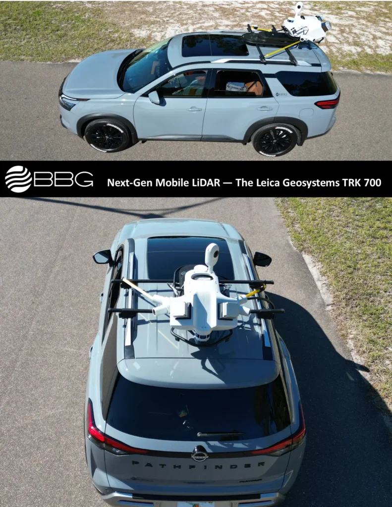
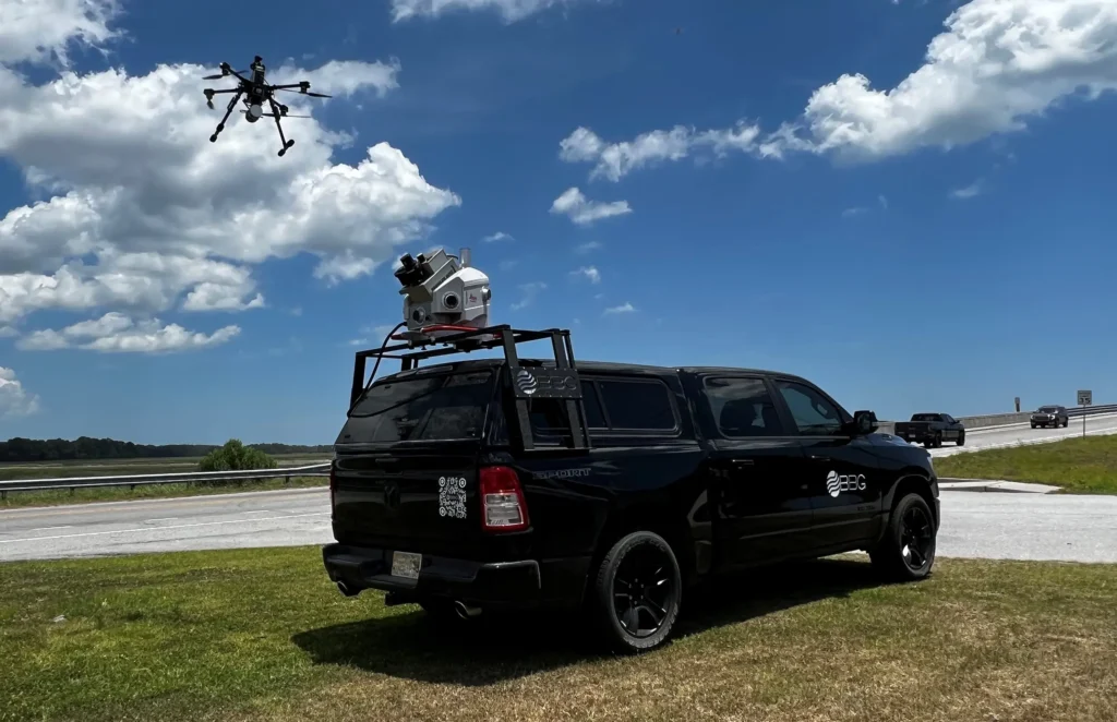
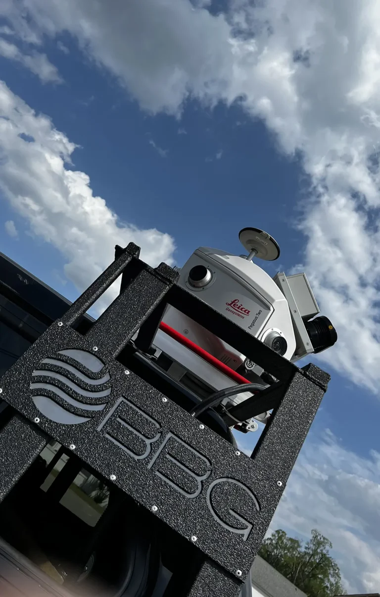
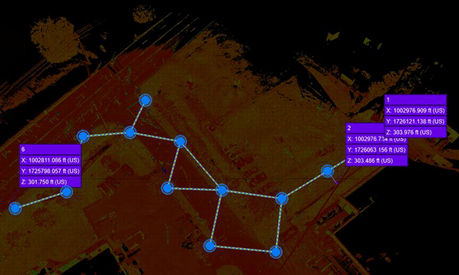
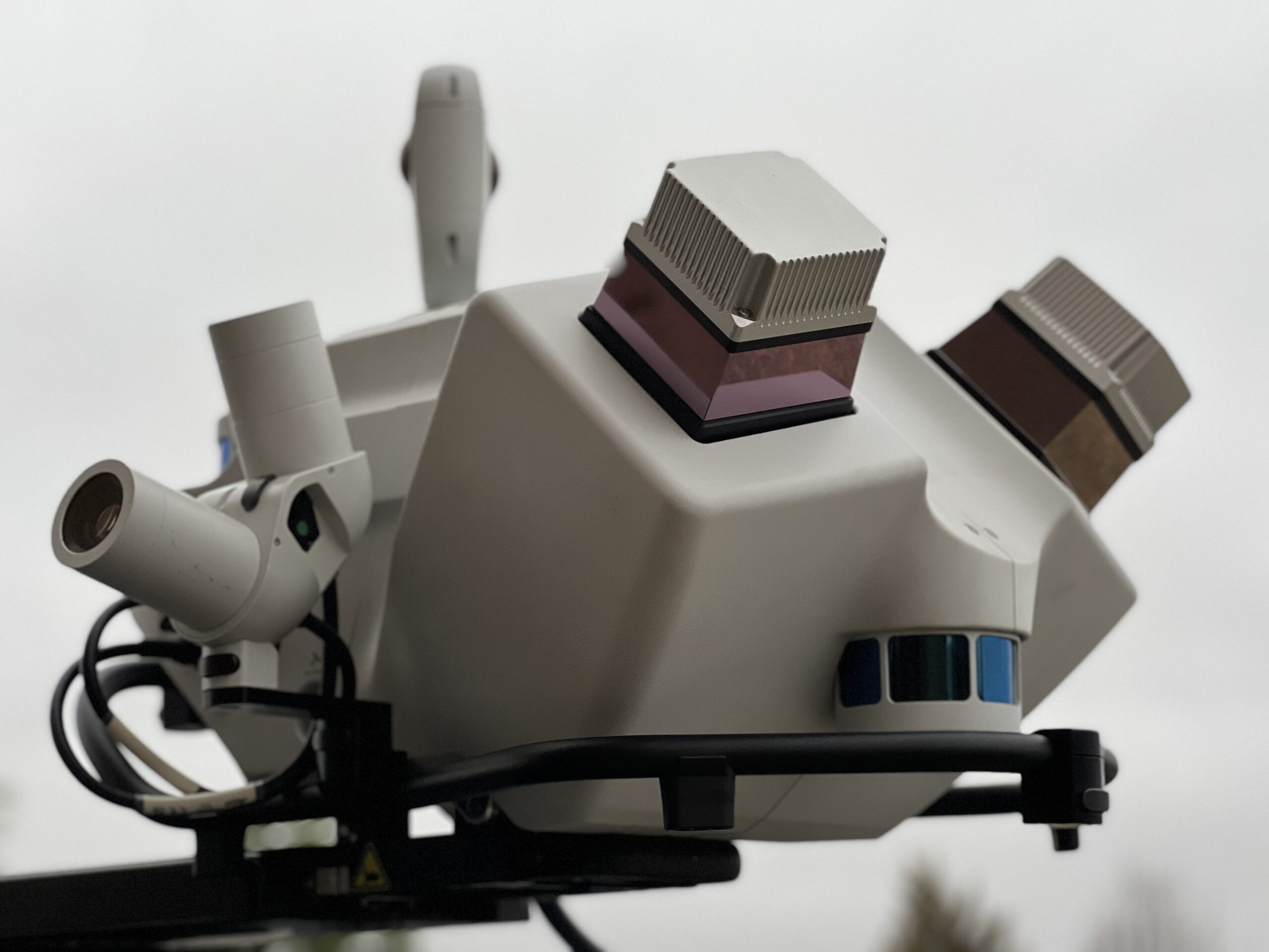
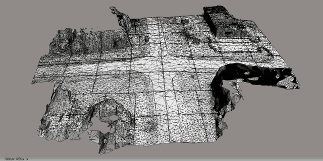
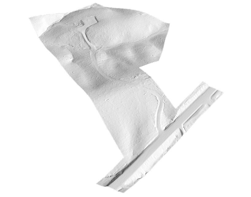
BBG leverages the combination of Leica Pegasus TRK and Pegasus II Mobile LiDAR systems for our mobile mapping assignments. These systems allow BBG to collect 50-100 miles of roadway data in a single day’s deployment. This data is then post-processed, tied to ground control targets (DOT applications) cataloged, and put into mapping production, typically within a day of collection. In some cases, our clients re-visit the data for new mapping days, months, and years after collection. This is especially helpful in the telecom markets, allowing our customers to deliver service at a greatly accelerated rate by having the roadways already collected and ready for mapping.
Static LiDAR
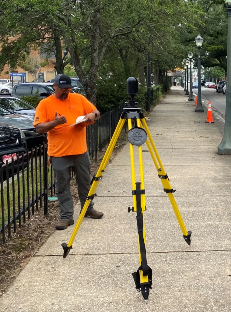
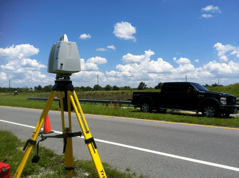
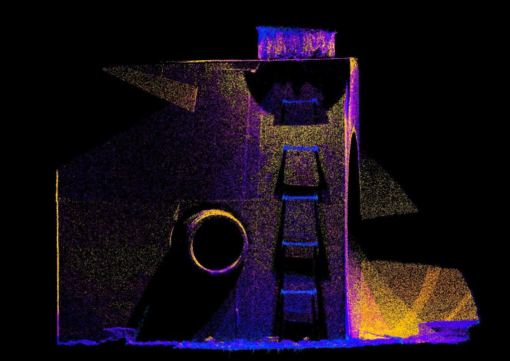
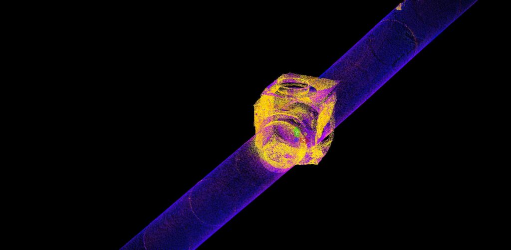
BBG employs static LiDAR for smaller projects and projects that require a different approach. Additionally, static LiDAR is sometimes employed to enhance mobile LiDAR in areas where mobile LiDAR was not able to fully cover the project requirements. BBG also utilizes static LiDAR to map the inside of underground storm and sewer manholes. This approach to measuring pipe sizes, materials, and invert elevations far exceeds traditional methods.
Why Choose Us
Cutting-Edge LiDAR Technology
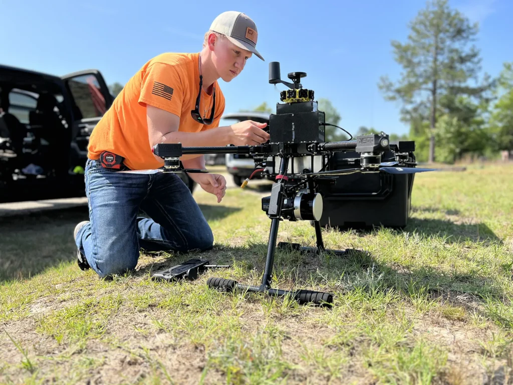
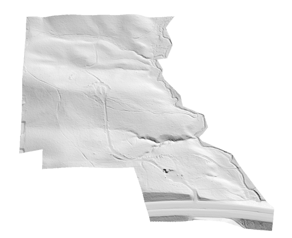
BBG also employs UAV-equipped technology in certain situations. This method allows for detailed ground terrain mapping in vegetated environments, rooftop mapping for telecom applications, and also enhancement of project corridors where mobile LiDAR doesn’t fully cover the project limits.
Mapping
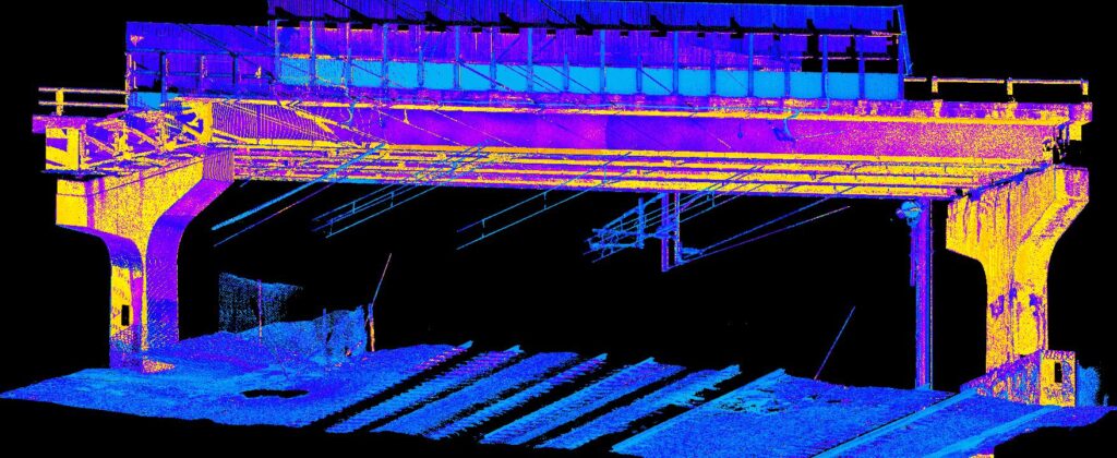
At BBG we leverage mobile, static, and UAV LiDAR as a starting point for base mapping applications, supplemented with conventional survey methods. This approach to base mapping allows for quicker project timelines, increased safety for field staff, and extremely detailed mapping products.
Large and Small Projects
The leadership at BBG has experience leveraging technology for both small and large scale projects. Projects ranging from a few hundred feet in length to hundreds of miles of complex roadways. Technology is changing the world we live in and the way we survey. BBG embraces these changes and is constantly striving for the next best way to survey!
Contact Us
We Can Handle Your LiDAR Project
BBG is consistently asked to map projects with an extremely compressed timeline. LiDAR technology allows us to quickly and efficiently collect large amounts of data in a very short timeframe, enabling us to deliver projects extremely fast when compared to traditional techniques.
If time is your issue, BBG and LiDAR is your solution.