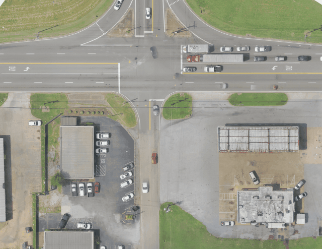
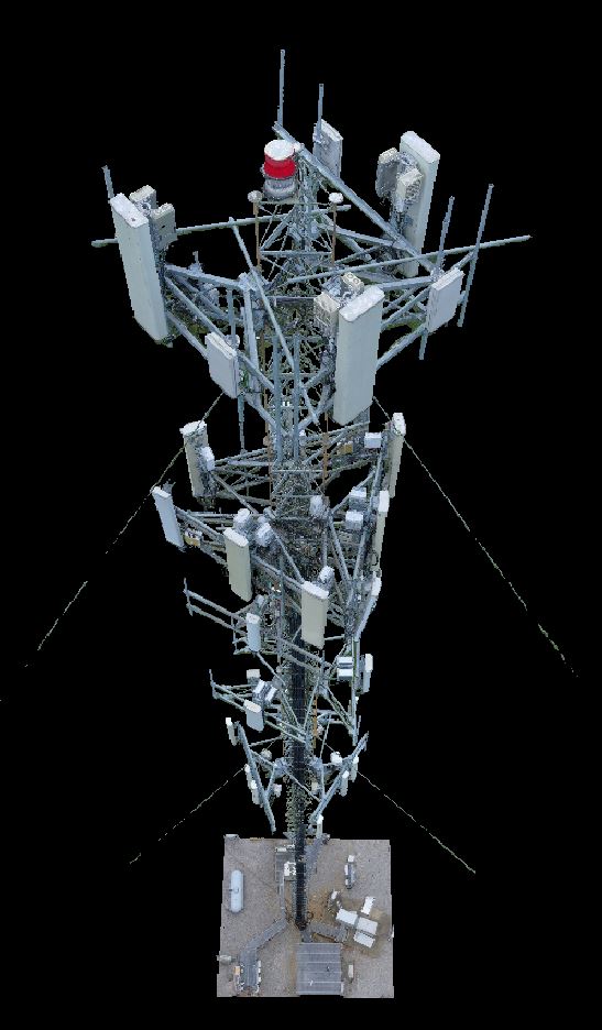
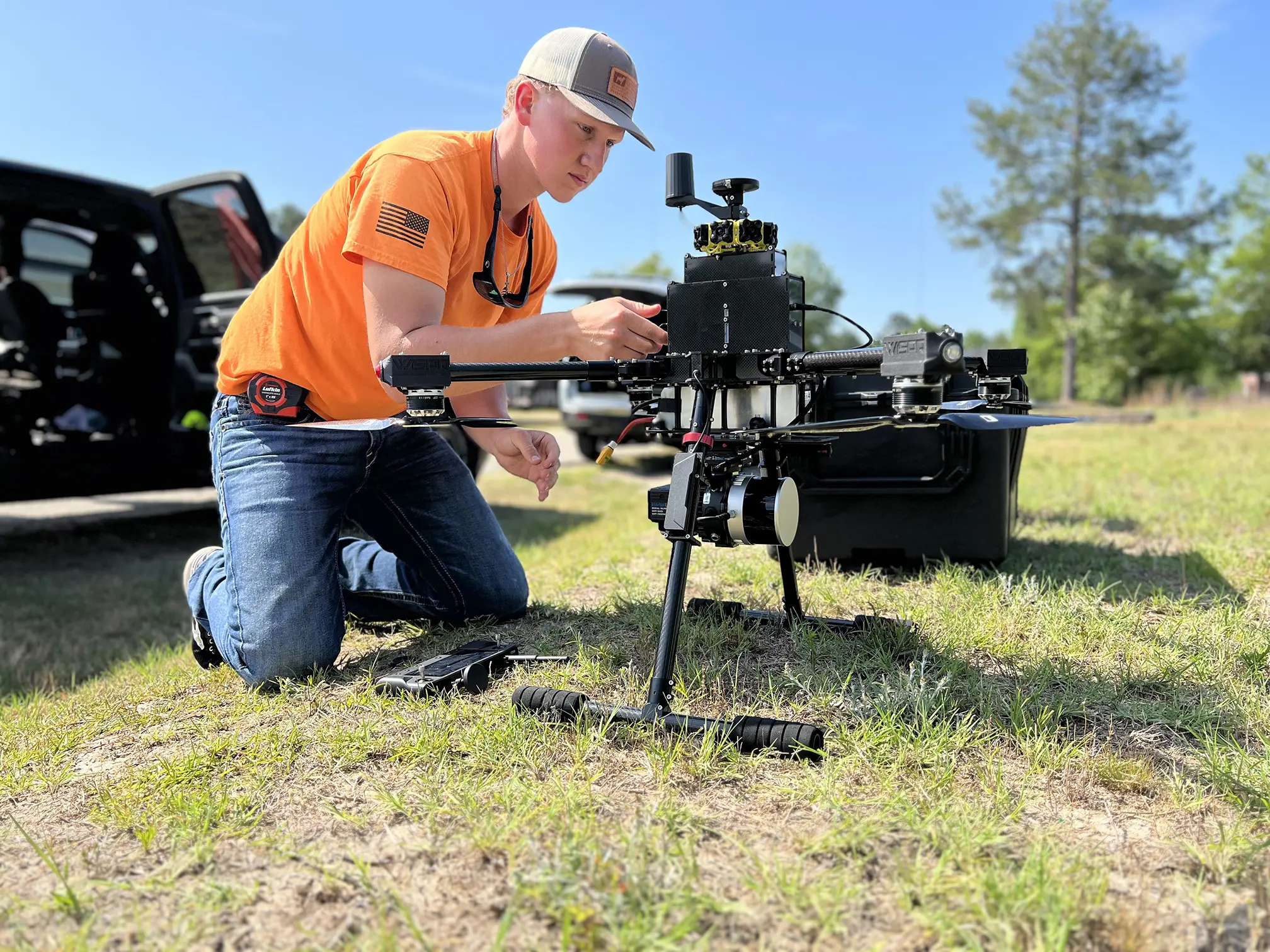
The BBG Geospatial Team is offering a variety of unmanned aerial systems (UAS) or drone services. BBG can provide inspection, mapping, and terrain modeling from a large inventory of drone platforms. We have a growing number of FAA-certified 107 pilots that use a “safety first” attitude toward every mission. Our unmanned systems deploy high-resolution imagery and video sensors as well as the ability to collect LiDAR which complements our other laser scanning and remote sensing offerings.